Harvard Gazette: The Urban Ocean
By Corydon Ireland, Harvard Gazette
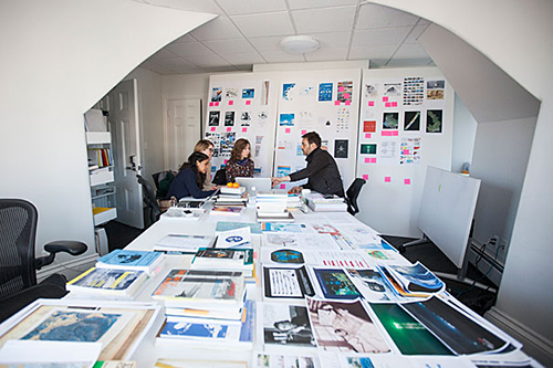
Photo courtesy of Melanie Rieders
In a sunny room on the third floor of 40 Kirkland St., a satellite building of Harvard’s Graduate School of Design (GSD), three students hunched over a laptop screen. They were peering at a cluster of blood-red dots: a gravity map of petroleum infrastructure in the Gulf of Mexico, including oil rigs, pipelines, and wells.
Final projects are due soon for GSD-DES 9132, an advanced research seminar called “The Oceanic Turn.” The team of three — landscape architecture students Phoebe White and Erin Wythoff and design studies student Adriana Chávez — are investigating how an industrial infrastructure long associated with land is increasingly penetrating into the sea. Their test case is part of the Gulf, the whale-shaped basin to the south of the continental United States that covers more than 600,000 square miles.
“We’re looking at the future,” an era of deeper energy extraction and higher importance for saltwater regions, said course instructor Pierre Bélanger, who was vetting the team’s progress. “They’re mapping the industrialization of the ocean.”
That industrialization, he said, has been underway ever since workers strung a telegraphic cable across the Atlantic in the 1850s. Today, the idea is even more urgent and worthy of study, said Bélanger, in part because of the emerging realities of sea level rise.
Read the entire article on Harvard Gazette.